BHS Course
Course Developer: Germain Ortiz
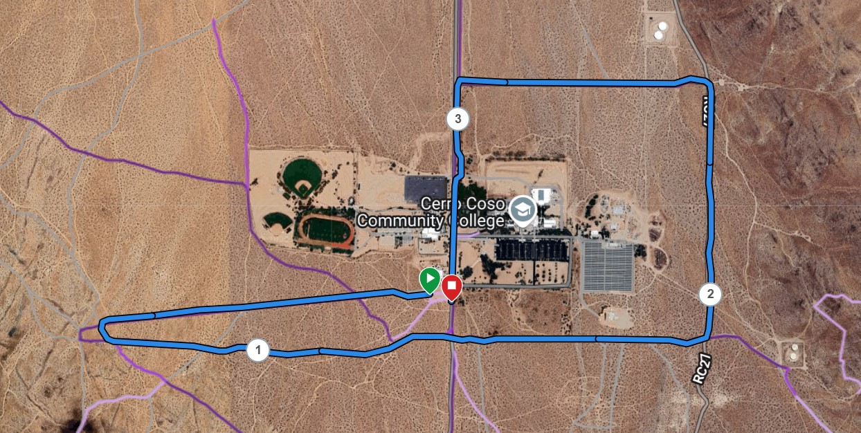
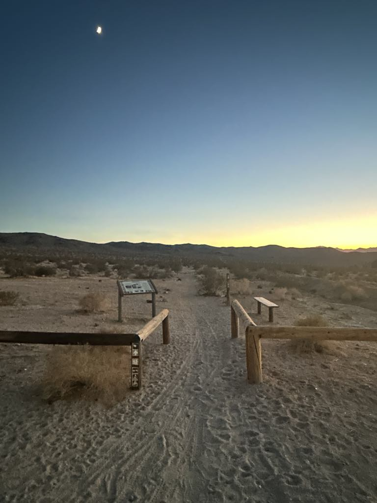
This one is a simple fast course! Nothing challenging until the last part of the course. Save some energy for the uphill finish! Park at the College Trailhead, the dirt parking area just after the College Heights pavement ends. The distance is about 3.4 miles, with about 200 feet of elevation gain.
The green buttons will take you to a Course page on Garmin Connect, or a Route on Strava. From there you can download a .gpx file for help in navigation. You can review the route navigation instructions here.
Course Description
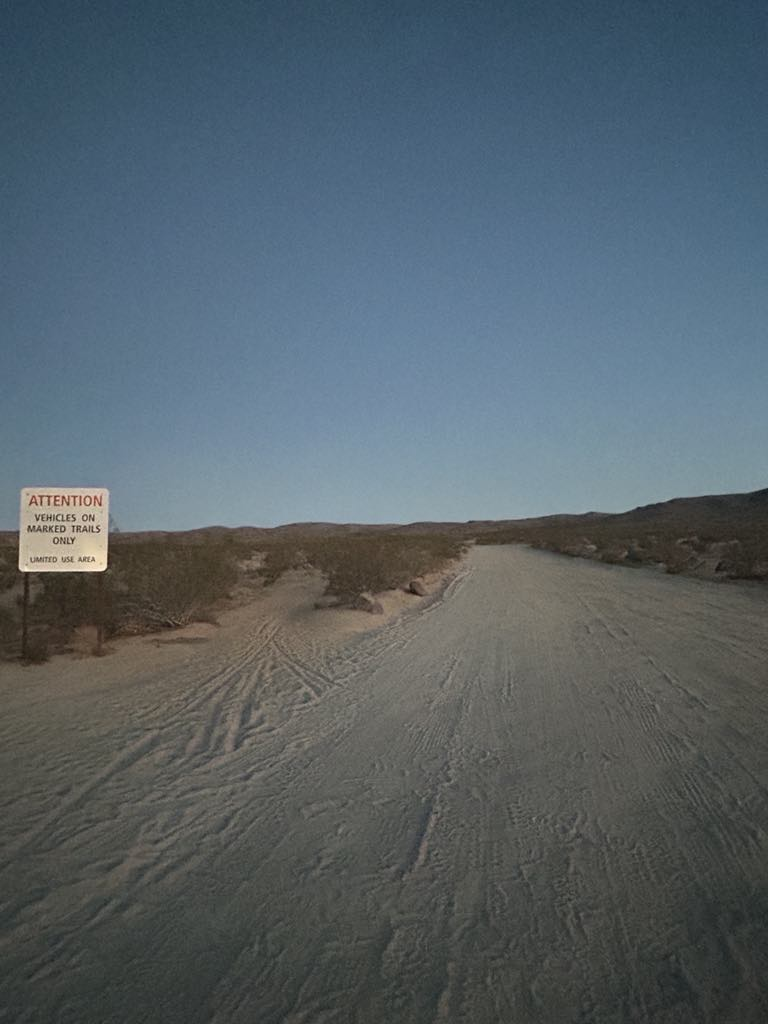
Begin at the west exit from the parking area and continue on that road. At about 2/3 of a mile, the route takes a sharp bend to the left, then heads back east, following our traditional Turkey Trot route. Cross the dirt extension of College Heights Blvd. and continue along the college fenceline. Continue around the fenceline, downhill, then back to the west, until reaching College Heights. Turning uphill, you will be able to catch a new section of paved bike path until it ends near the parking lot entrance. Come out onto the road and continue uphill. Finish at the "Attention" sign near the parking lot.
Be aware, that since this route is in a popular recreation area, our course markings may be disturbed. It's a good idea to be prepared to navigate it on your own, either by having the course memorized (this one is pretty straightforward) or by using a navigation application.